
Tuesday July 30 brought such a nice weather ☀️ that we could acquire cloudless aerial hyperspectral imagery for our research area in the Krknoše Mts. 🏞. Our colleagues from CzechGlobe used their FLIS inrastructure (Cessna 208B Grand Caravan + CASI, SASI, TASI sensors) ✈️.and came from Brno to the Krkonoše Mts. During 1.5 hour flight they acquired data covering the most important research areas.
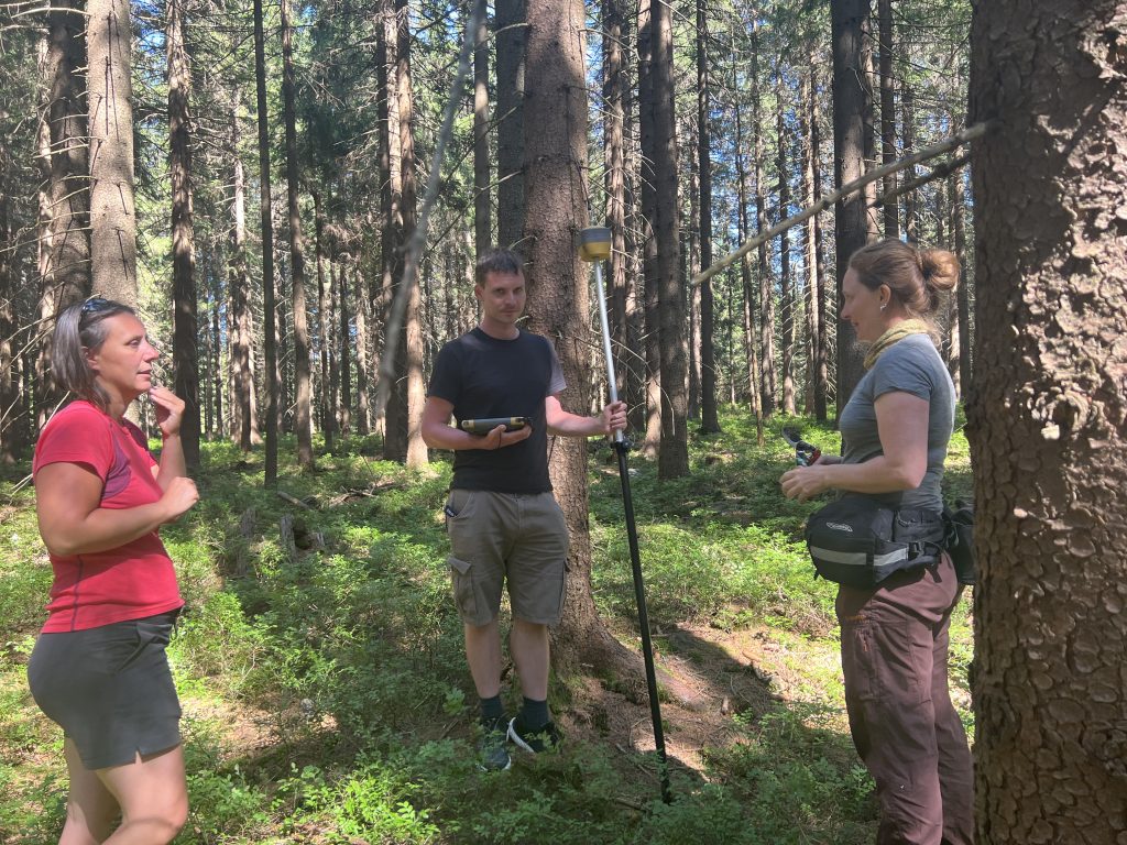
At the same time an extensive ground field campaign took place. We collected foliage samples from 60 trees, took spectral measurements for calibration and for projects focusing on forest health evaluation🌲🌲🌲and the detection of anghropogenic matherials (azbestos, plastics, asphalt, concrete etc.). We also acquired hyperspectral and multispectral image data from UAV 🛰 for 5 plots. During the next three days we elaborated the samples in the laboratory (spectral measurements, preparation for pigments extraction etc.) 🧪🔎.
We are really happy for this beautiful day 🍀💕. Many thanks to all team meambers 👫🏻 and other colleagues that they supported the campaign.
And thank you Krakonoš !!!
And we also want to thank for the support to 4EU 4EU+/23/F4/20 project Ruderalitazation and invasive species spread as a consequences of land abandonment in European landscapes after 1990: detection and assessment using remote sensing and to TAČR project Assessment of the impact of land cover changes on local hydrology and climate in the Krkonoše Mts. National Park using remote sensing and hydrological modelling / Hodnocení vlivu změn krajinného pokryvu na lokální hydrologii a klima v Krkonošském národním parku s využitím dálkového průzkumu Země a hydrologického modelování (SS05010124).