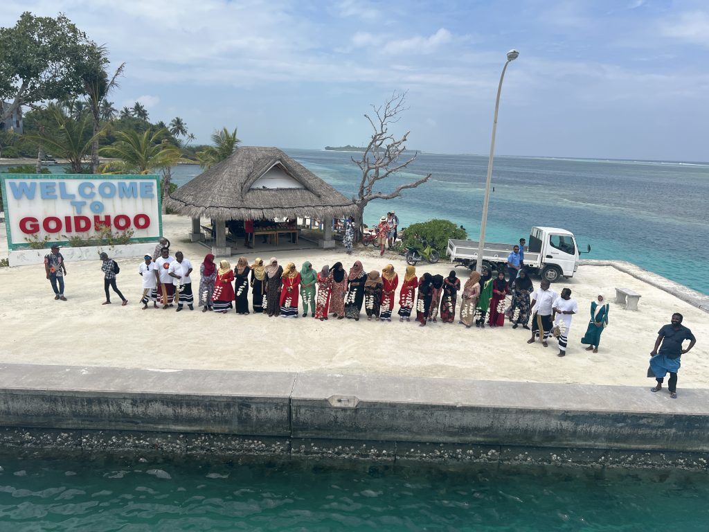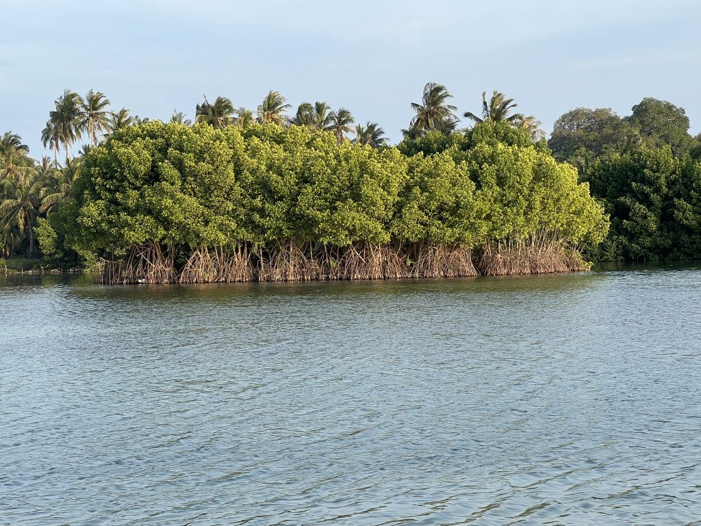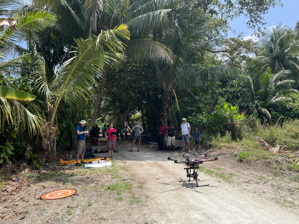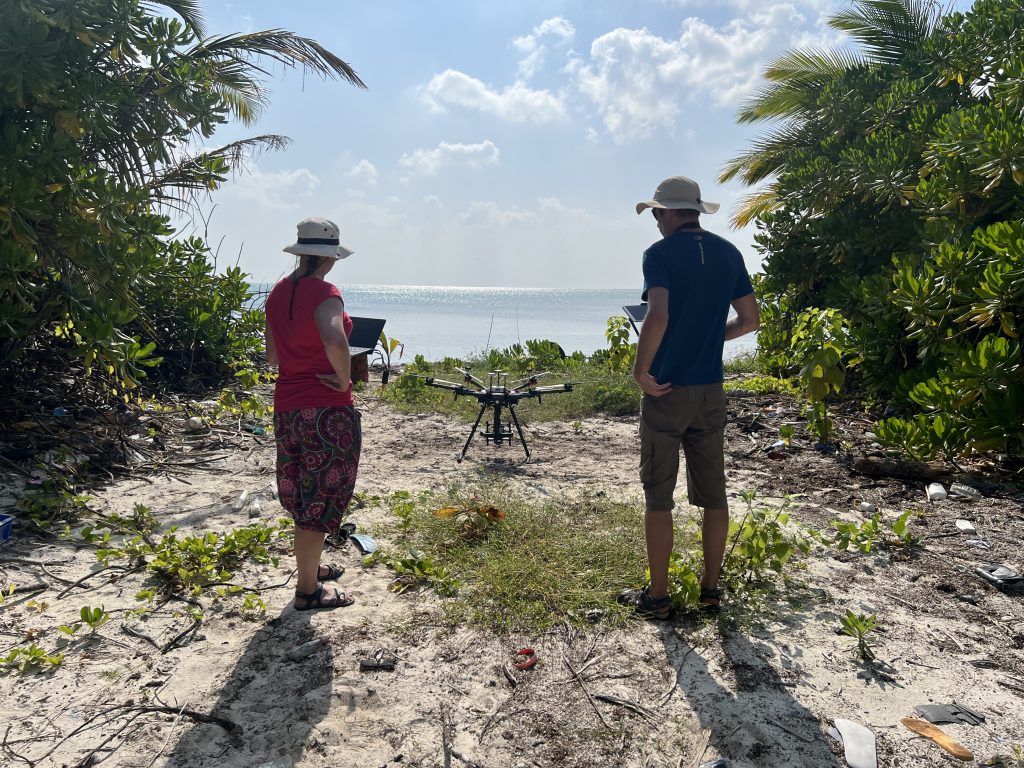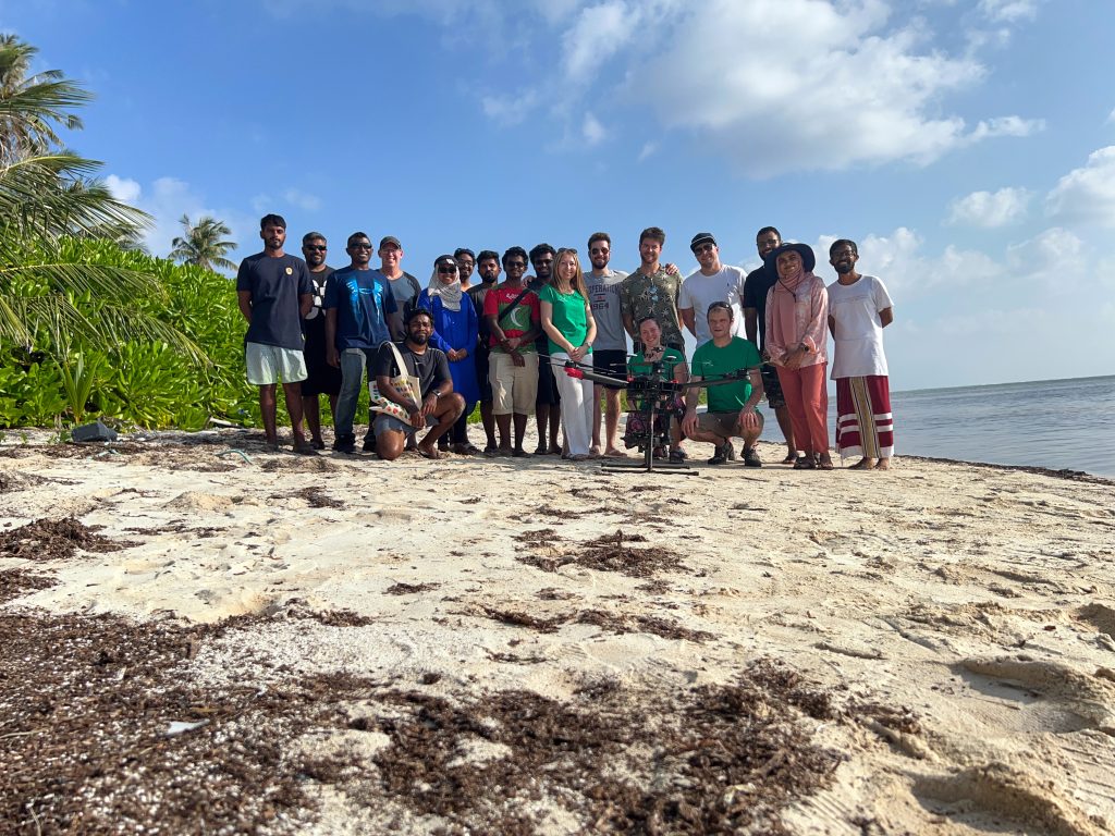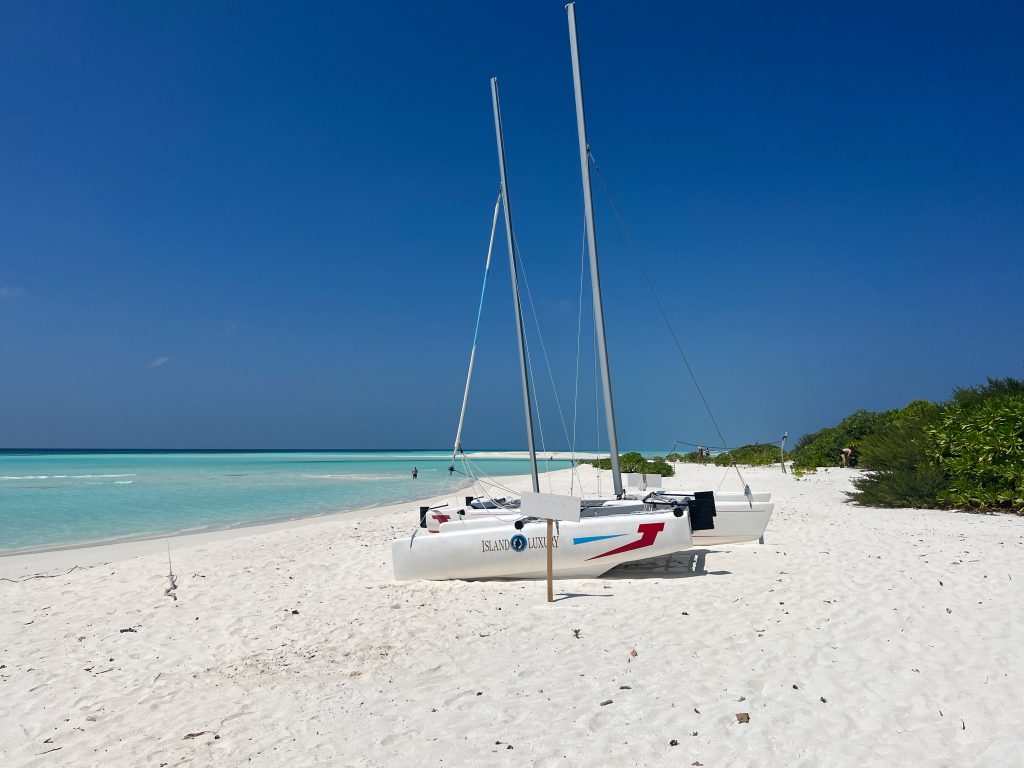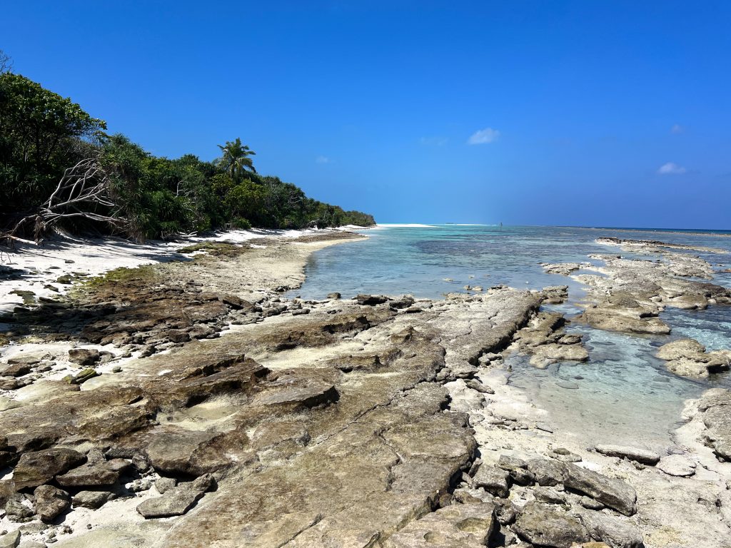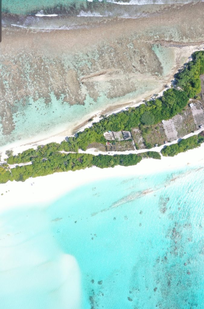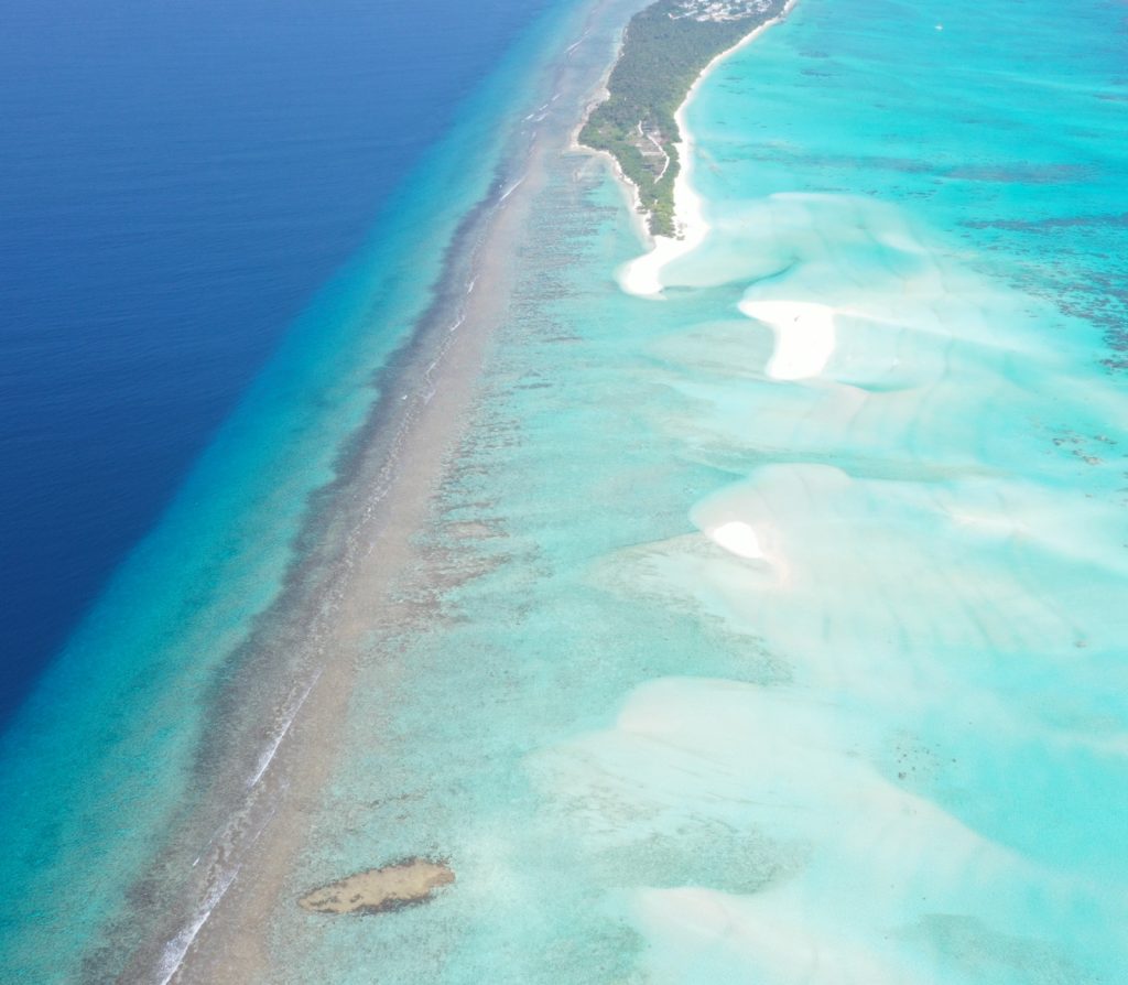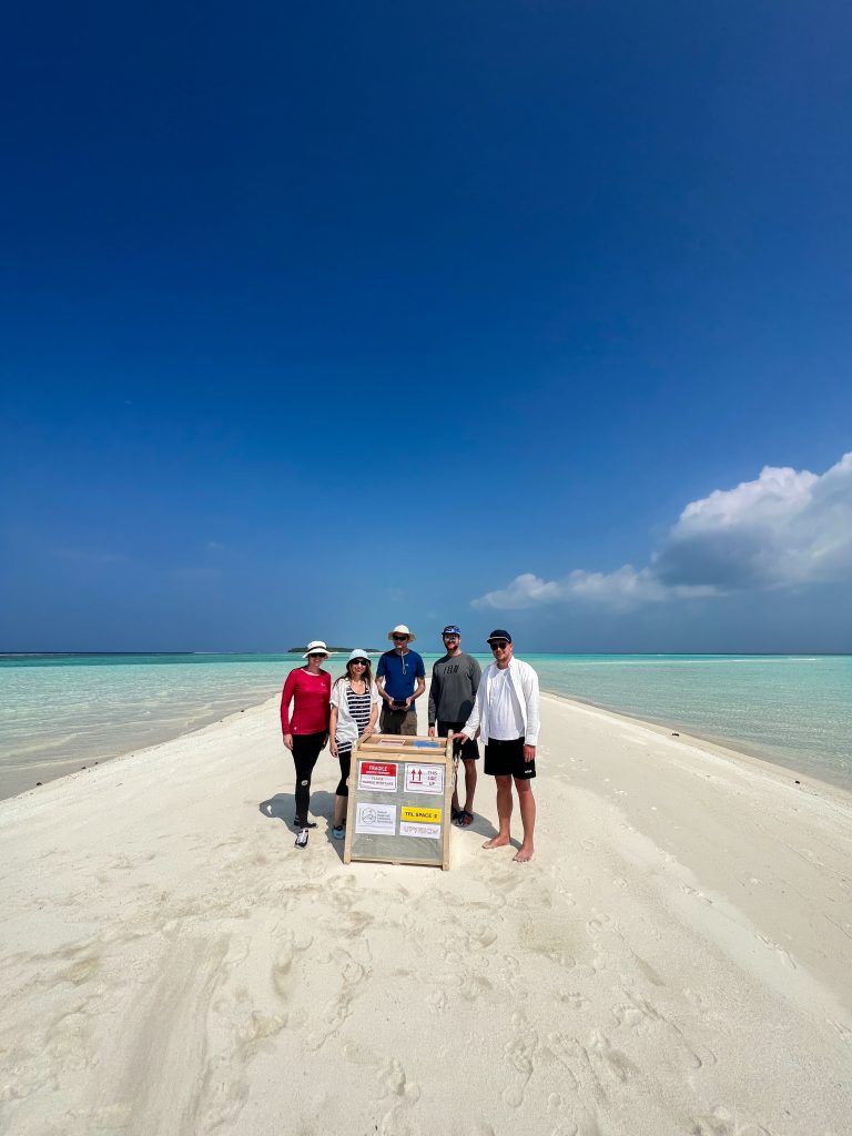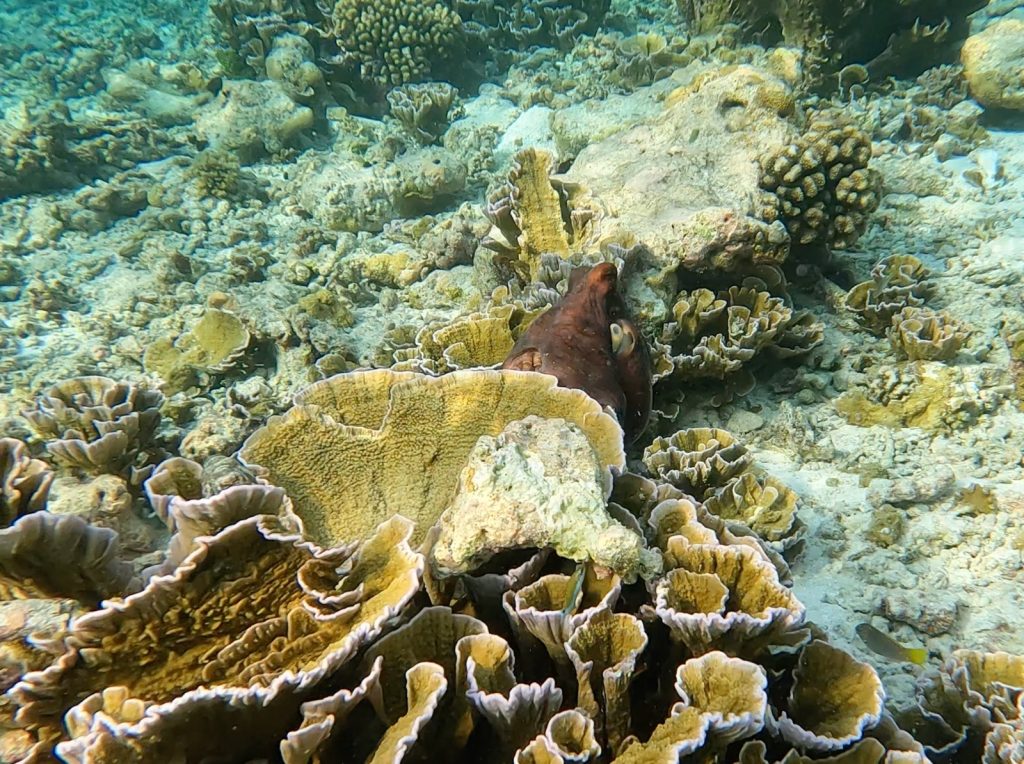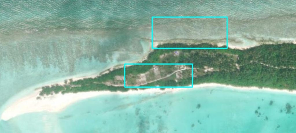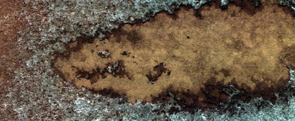
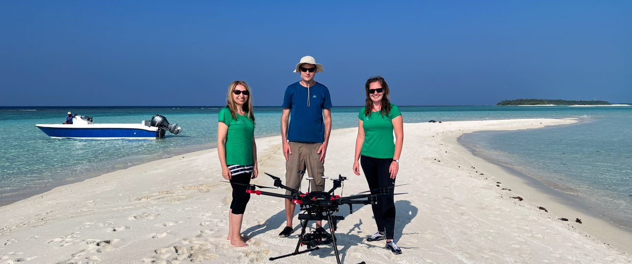
At the turn of February and March 2023, TILSPEC research team members Lucie Kupková, Lucie Červená and Jakub Lysák conducted hyperspectral drone imaging in the Maldives, specifically on the islands of Goidhoo and Fulhadhoo. The event, carried out at the invitation and in close collaboration with TRL Space Systems company, is a part of the wider GEOP project, which aims to understand and predict the processes that negatively affect life on coral islands (e.g. seagrass expansion, coral bleaching, mangrove damage, coastal erosion, soil salinization, etc.).
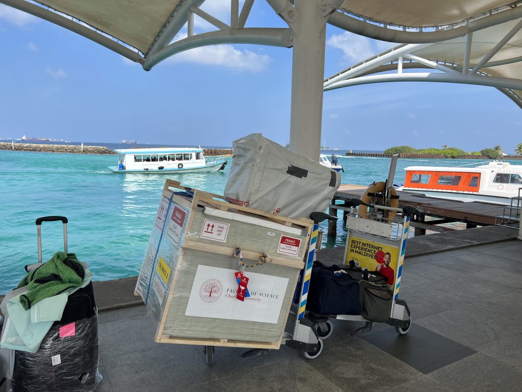
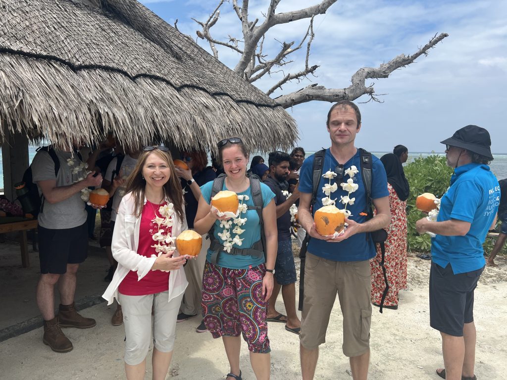
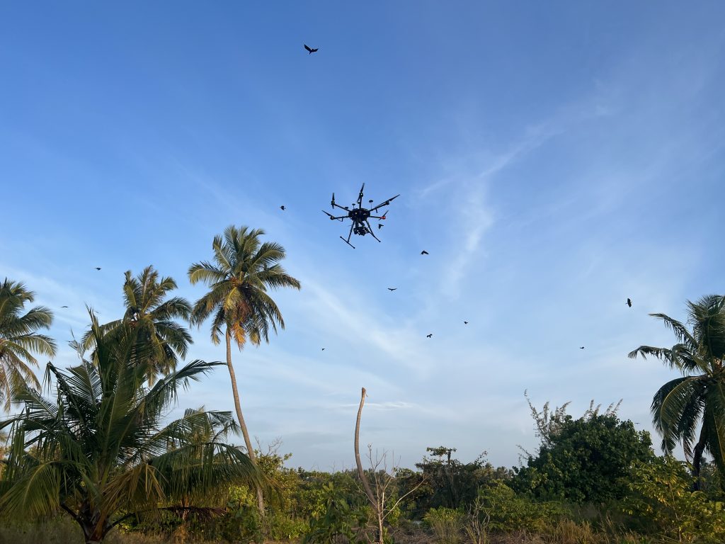
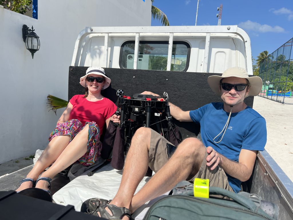
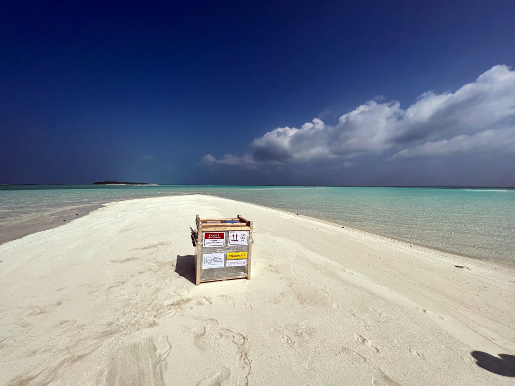
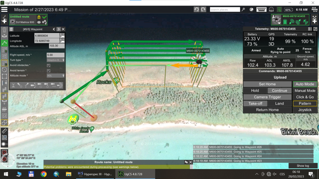
The organization of the whole event, including the air and ship transfer of the drone and accessories, was logistically extremely complex, but finally it was successfully managed. We accomplished 13 flights using our hyperspectral camera Headwall NANO-Hyperspec. The drone attracted the attention of the locals and got the nickname of bodu mas (= big fish) in the local Divehi language. The results obtained from the data processing will be used to improve the living conditions of the islanders and to protect the natural heritage of the magical coral islands.