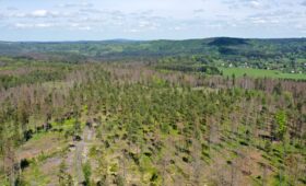
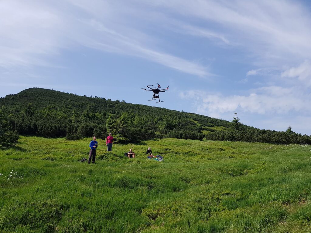
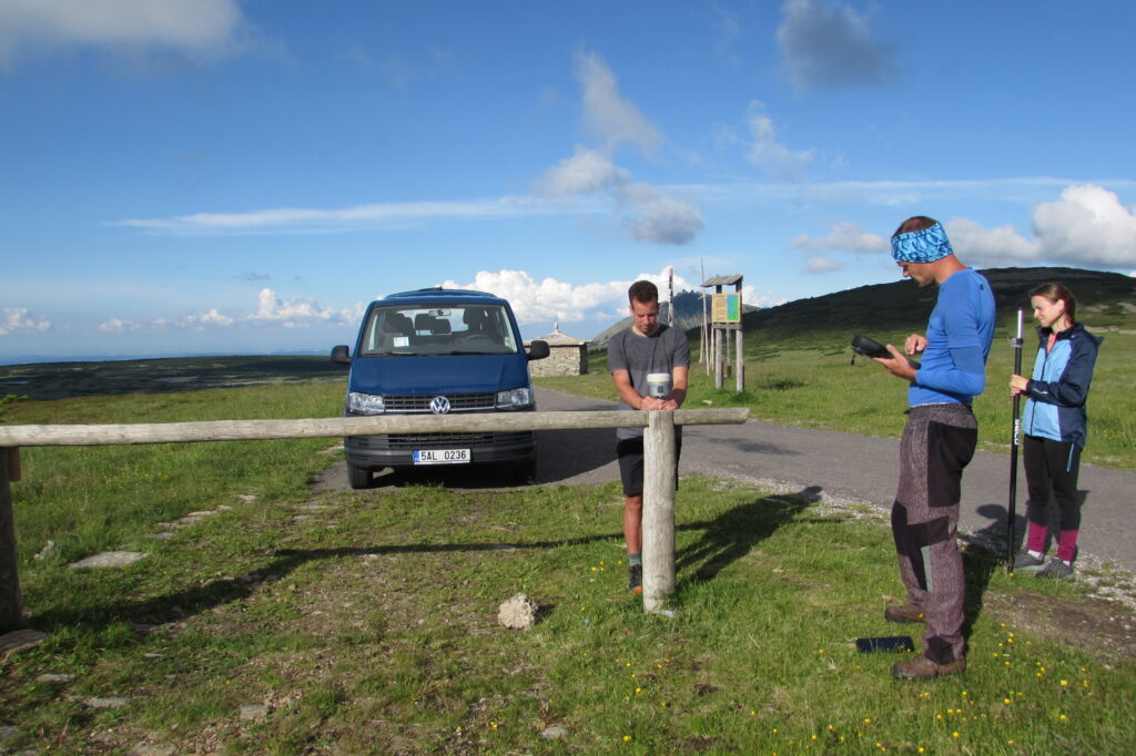
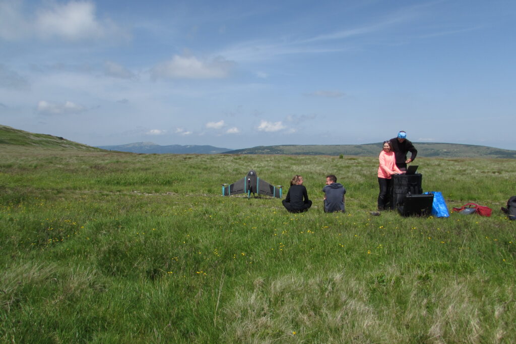
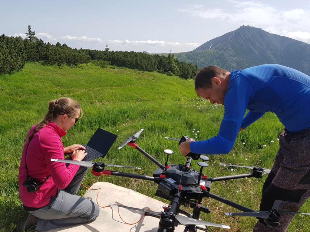
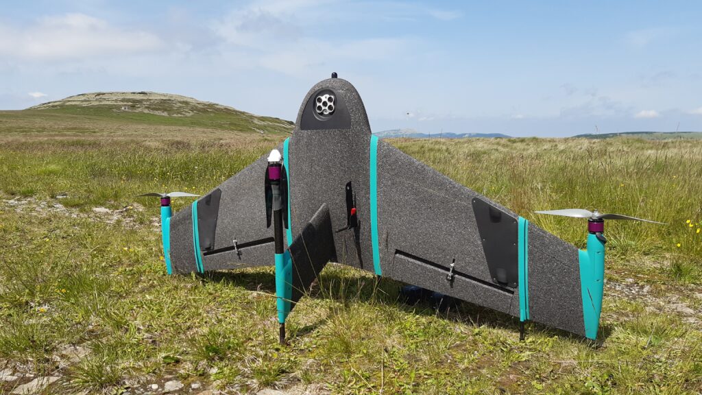
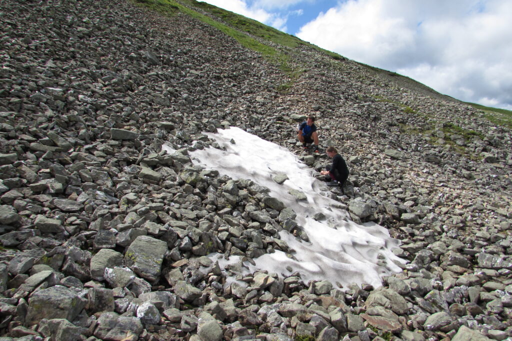
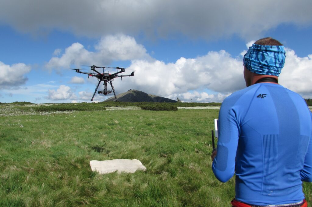
Already 3rd season of the data acquisition using dron DJI M600 Pro and hyperspectral camera Headwall Nano-Hyperspec continued with second data flight campaign in June 11 and 12. At the same time our colleagues from Krkonoše National Park Administration acquired data using multispectral camera and colleagues from UpVision provided LiDAR data for 4 permanent research plots with different types of vegetation. The data are being used for the development of the methods for monitoring of the tundra vegetation based on remote sensing UAV data.